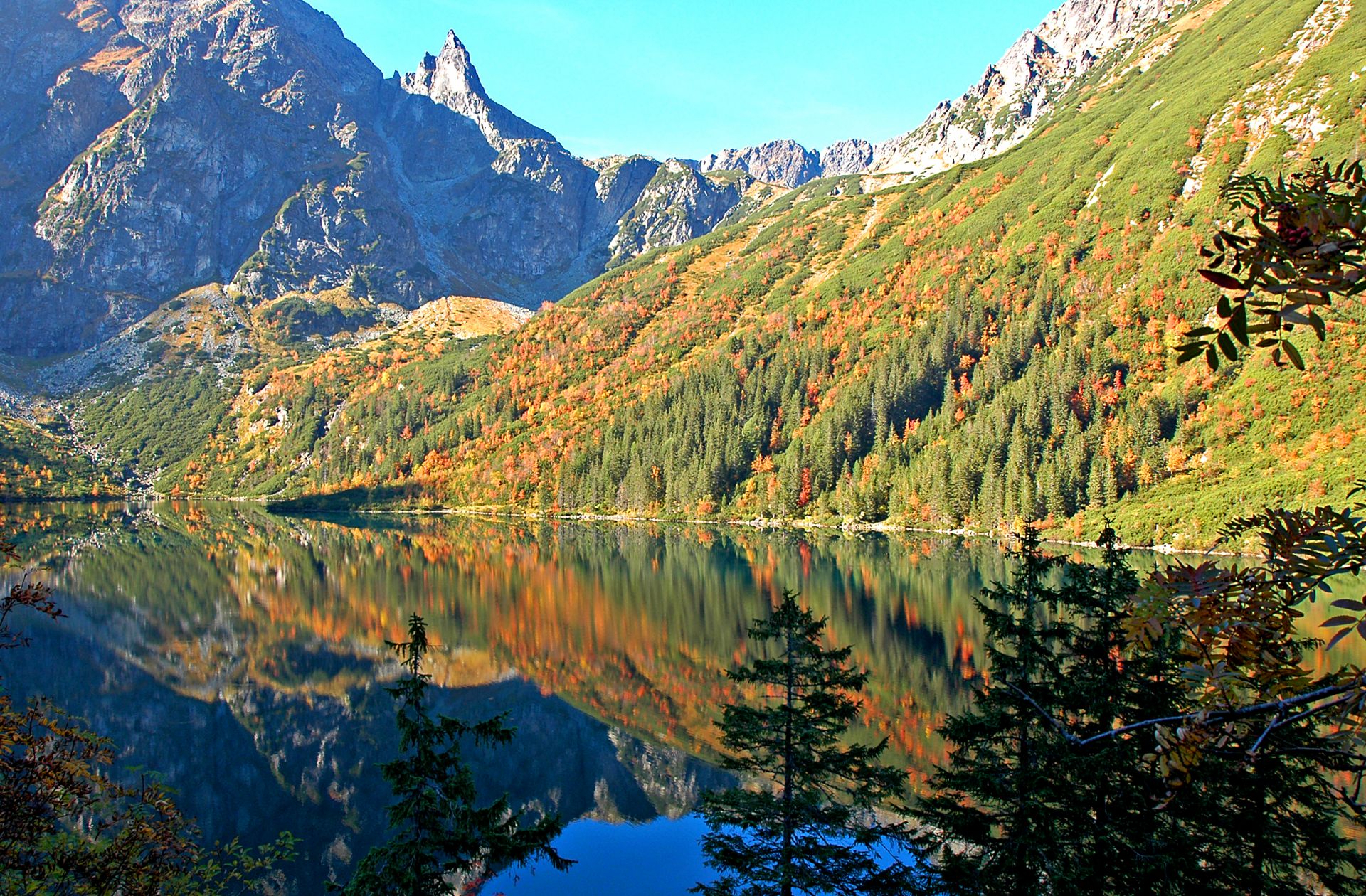
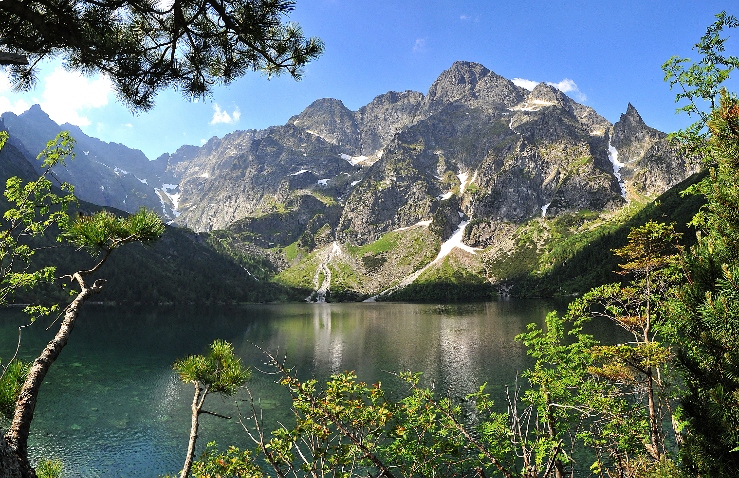
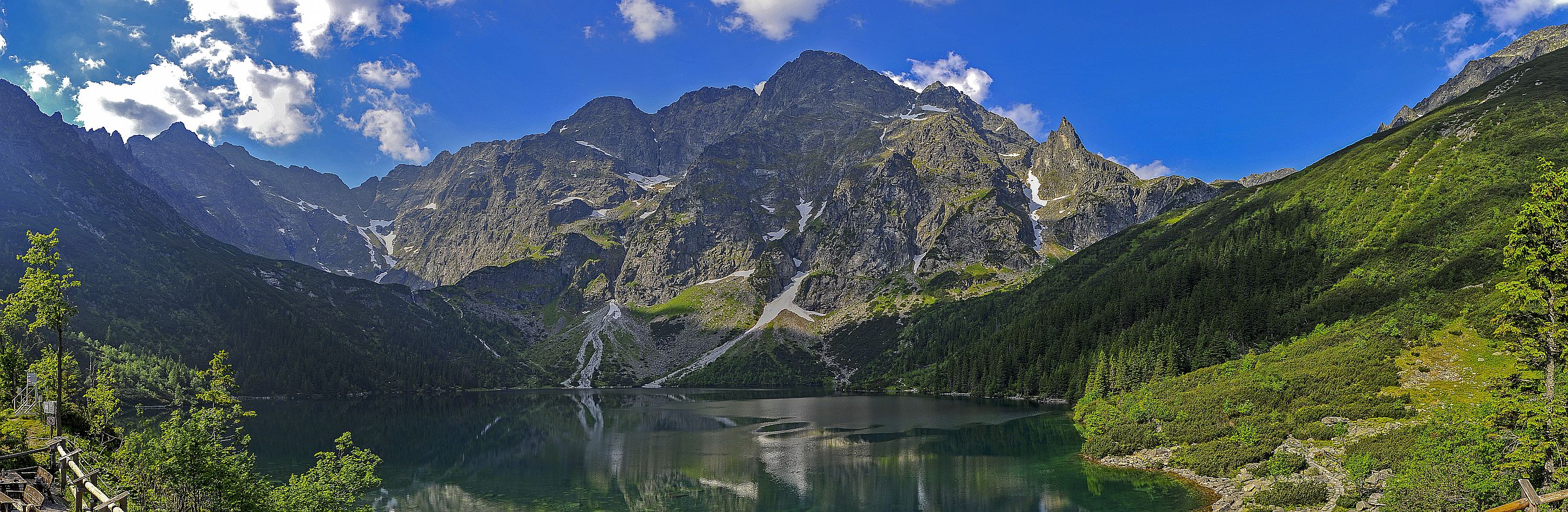
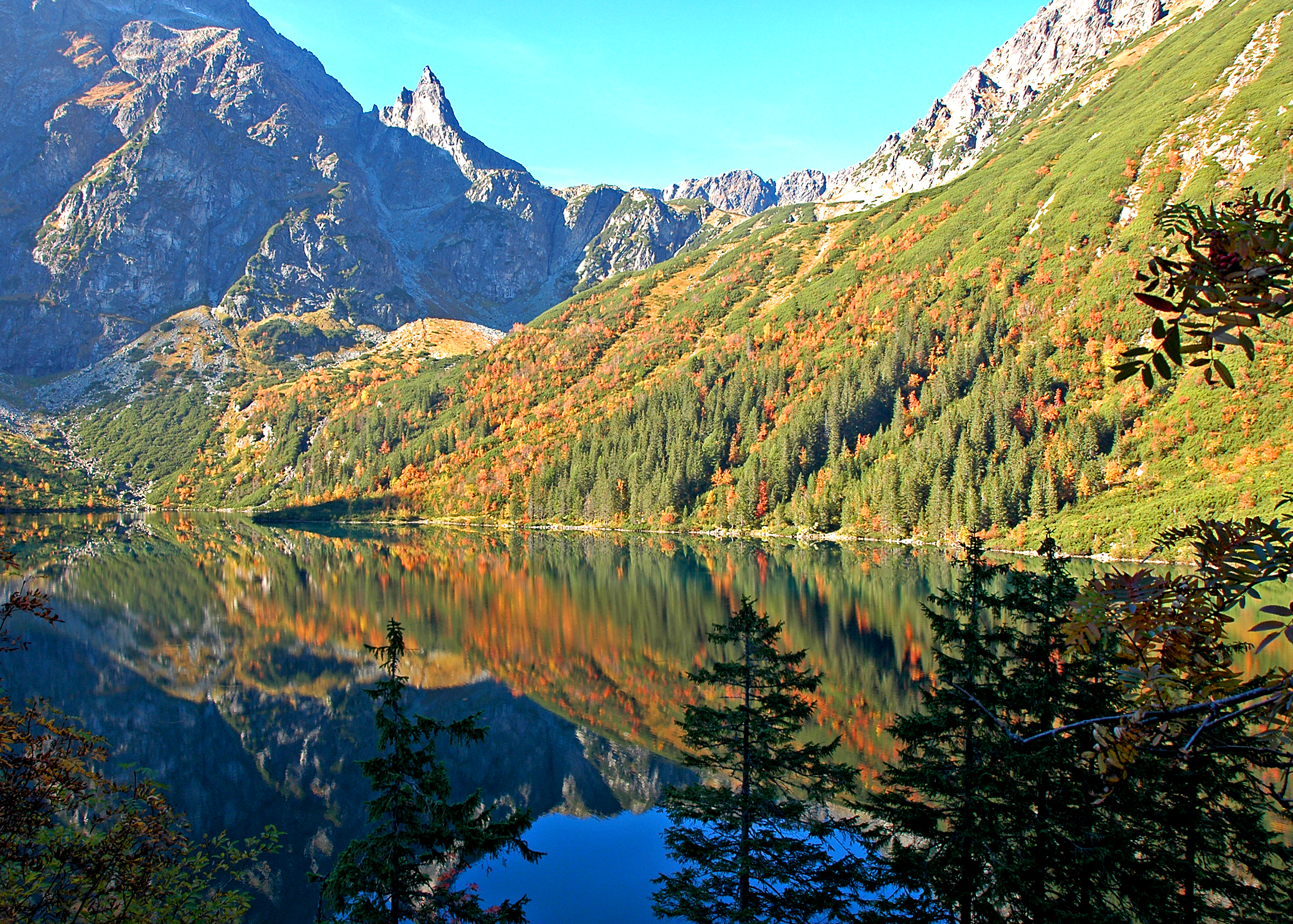
Jakość powietrza
Stopień jakości powietrza Bardzo dobra
Legenda
  Bardzo dobra
  Dobra
  Umiarkowana
  Brak danych
  Dostateczna
  Zła
  Bardzo zła
tabelka scrollowana
Czujniki GIOŚ NO2 CO O3 SO2
ul. Sienkiewicza   15.99   0   60.07   0
- - - - PM2.5 PM10 - - - - - - - -
ul. Sienkiewicza   -   13.84
Czujniki o mniejszej dokładności:
Kamieniec   12.59   16.59
Józefa Piłsudskiego   3.89   4.93
Tytusa Chałubińskiego   4.78   6.07
Zofii i Witolda Paryskich   4.42   5.74
Kuźnice   5.18   6.56
Szkoła Podstawowa w Kościelisku   0.53   0.64
Wszystkie odczyty podawane są w µg/m3
Partner: airly
Wt. 30.04 08:00
Zachmurzenie
14° / 7° zachmurzenie umiarkowane
Śr. 14:00
Zachmurzenie
18°
Czw. 14:00
Zachmurzenie
17°
Pt. 14:00
Deszczowo
13°
Sob. 14:00
Deszczowo
14°
Nd. 05:00
Zachmurzenie
Zdjęcie promujące Zakopane
Oranment

Morskie Oko

morskie oko 

Trail:

Morskie Oko

Distance Distance: 7,7 km
Finish time Finish time: 2 godz. 30 min
Elevation difference Elevation difference: 486 m↗ 64 m↘
Highest point: 1409 m n.p.m.
Trail:

Morskie Oko ("Sea Eye") is the highest (around 35 ha) and one of the most recognizible Tatra lakes. It's located in upper regions of Rybiego Potoku Valley, a part of general Białka Valley.

We begin our journey on Palenica Białczańska. From this place we can go towards Morskie Oko region (red trail) or on Rusinowa Clearing (blue trail). On the local paid parking we can leave our motorcycle, car or coach. Zakopane transport buses are also arriving here.

We buy our Tatra National Park entry ticket and enter one of the most popular Tatra tourist routes. On the right side we pass the first TPN info boards, and horse-drawn cabs (known as "fasiągi") stop. Those cabs can get us to Włosienica (see tpn.pl). Walking tourists are wandering on, passing Waksmundzki Stream bridge, taking two turns and getting to the region on of the second TPN educational board. From this point, with good weather, a view on one of the most beautiful Tatra regions – Biała Woda Valley unfolds. Among the visible peaks, we can see Slovak Gerlah mountain (2655 MASL) – highest peak of not only Tatra, but also Carpathians. Venturing forth by asphalt, we pass the wooden building on the right side, where the legendary Morskie Oko's feud history exhibition is held. After a while we reach Mickiewicz Waterfalls. Thanks to astonishing sights, this place is very attracive and popular among tourists. On nearby glade are wooden benches with tables and toilets. Also, here our red trail towards Morskie Oko is being cut by the green one the green one, leading to PTTK Shleter in Roztoka Valley towards Five Polish Ponds Valley. Into Morskie Oko region goes the asphalt track, although from now on the forest paths are also available. On the first one we get to Wanta forester's hut. Here are also toilets and another TPN info board. After passing the final shorcut, in few minutes we get to Włosienica. This is the last stop of horse-drawn cabs, the buffet and toilets. From here the path leads to lower parts of avalanche-sensitive Głęboki Żleb also known as Żleb Żandermerii (next TPN info board). We pass Ejsmond Turn. After a while our trail is joined by the blue one, leading from Morskie Oko region, through Świstówka Roztocka to Five Polish Ponds Valley and further through Gąsienicowa Hall to Kuźnice. This path is closed from 1 december to 15 may.

After few minutes from trail crossing, we reach PTTK Shelter in Morskie Oko.