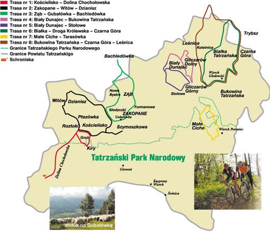
Mountain route: Kościelisko – Chochołowska Valley
length: 25 km, time: 3 hours, elevation difference: 250 m, difficulty: hard
First we begin in Kościelisko Kiry, on Kościeliska Valley exit. We go towards Czarny Dunajec. On Roztoka hamlet, we turn left to Chochołowska Valley. Through Siwa Clearing we go by the asphalt route to Hucisk. Further, up the rocky road, we go towards Chochołowska Clearing, all the time through Tatry National Park. We pass Niżnia and Wyżnia Brama Chochołowska and Wywierzysko Chochołowskie. We return the same way to Roztoki. In Roztoki we turn right and left, through Kirowa Woda bridge, by the gravel path we arrive at asphalt road. Next, turning right to Groń hamlet, we turn right again and reach Kościelisko Kiry next to biathlon stadium.
Mountain route: Zakopane – Witów – Dzianisz
length: 30 km, time: 3,5 hours, elevation difference: 300 m, difficulty: hard
We begin on the parking spot on Szmoszkowa Clearing. We go after road signs through Kościelisko village. On Roztoka hamlet we turn right through forest by the gravel path, we reach Plazówka clearing. This is a good resting site with view on Chochołowska Valley. There are few houses and adorable chapel situated there. Further, through Witów we go by the asphalt road to Dzianisz village and up to Gubałówka hill – 1123 m. Initial hardships are recompensated by magnificent view on Zakopane and Tatry. We go down to Kościelisko and then to Zakopane.
Mountain route: Harenda – Ząb – Bachledówka – Gubałówka
length: 35 km, time: 4 hours, elevation difference: 300 m, difficulty: hard
We depart from Harenda Ski-Recreational Facility (the bike can be transported up by the rail). Further track leads to Ząb village. From Ząb we go south to Furmanowa and Gubałówka. We are constantly surrounded by great views on Tatry and Zakopane. From Gubałówka we ride to Nowe Bystre village and further by the asphalt road to Bachledówka, where bishop Karol Wojtyła often stayed. Beautiful Tatry and Podhale panorama spans on Pilsko, Babia Góra, Gorce with Turbacz and the whole Tatry ridge. Next we go through Czerwienne to Ząb.
Bike route: Biały Dunajec – Bukowina Tatrzańska
length: 20 km, time: 2,5 hours, elevation difference: 300 m, difficulty: hard
The track begins in Biały Dunajec next to Municipal Office. We go through the village and further by the bridge in Biały Dunajec to Gliczarów Górny village. Narrow, asphalt road goes up to Gliczarów Górny. Bukowina Tatrzańska village is in front of us, with beautiful view on Tatry. We turn left here, and after the road changes to gravel we go north on ridge between Leśnica and Gliczarów. We adore the fairy tale vista on Tatry and Podhale. We go back by the dirt road to Gliczarów Dolny and Biały Dunajec.
Mountain route: Biały Dunajec – Stołowe
length: 25 km, time: 3 hours, elevation difference: 300 m, difficulty: hard
The trip begins in Biały Dunajec next to Municipal Office. Riding through the village, we turn to Gliczarów Górny. Through asphalt road we go up to Janasówka. Beautiful views on Tatry await us on the hill. We turn right to Stołowe and down the asphalt road to Świdrowy stream. Next, by the dirt road, to Skupniowa street in Biały Dunajec.
Mountain route: Białka – Droga Królewska – Czarna Góra
length: 30 km, time: 3,5 hours, elevation difference: 280 m, difficulty: hard
The track begins in Białka Tatrzańska. Through Białka we go to Trybsz village (Spiš), with wooden church with oldest regional wall paintings. Next, through Czarna Góra village to Gliczarów Górny, we change to gravel path and by the ridge between Leśnica and Białka Tatrzańska we arrive at Kotelnica. This segment is known as “King’s road” because, according to local history, this is where king Jan III Sobieski’s army returned after the Battle of Vienna in year 1683 r. On the upper rail station we go down to Białka Tatrzańska.
Mountain route: Małe Ciche – Tarasówka
length: 16 km, time: 2 hours, elevation difference: 230 m, difficulty: hard
We begin in Małe Ciche village. We go reach Oswalda Balzera street to Wierch Poroniec. Here we turn left to Polane Zgorzeliwsko and further down the forest path to Tarasówka. We can admire excellent views. From Tarasówka we descent down the steep road to Małe Ciche.
Mountain route: Bukowina Tatrzańska – Czarna Góra – Leśnica
length: 40 km, time: 4 hour, elevation difference: 300 m, difficulty: hard
The route starts in Bukowina Tatrzańska next to Municipal Office. We go down the asphalt road to Czarna Góra village (Spiš). Further we go through Trybsz to Leśnica and through the village we ascend to Bukowina Tatrzańska. This is the most beautiful segment of the trip. Next we ride back to Municipal Office through Rusiński Wierch.
Harenda
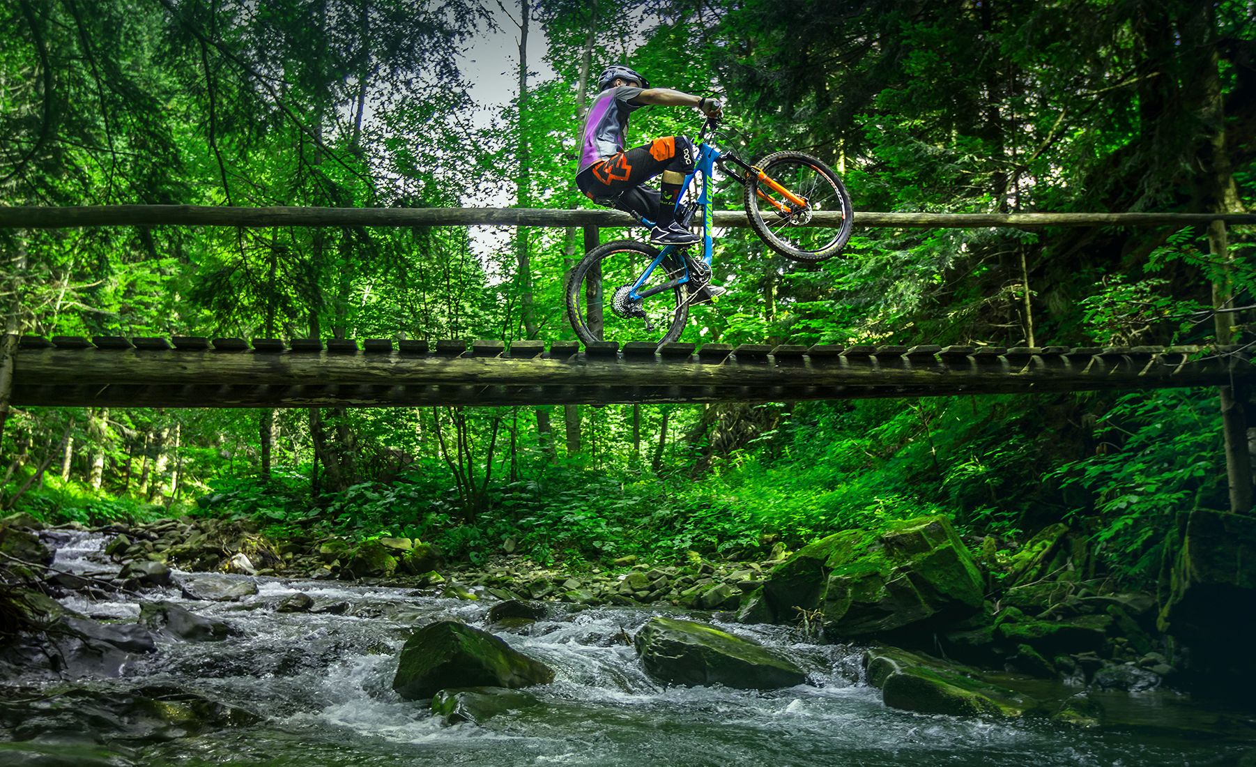
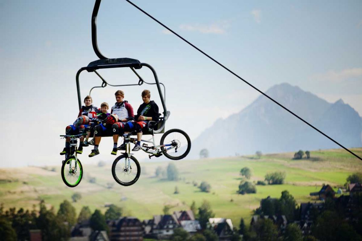
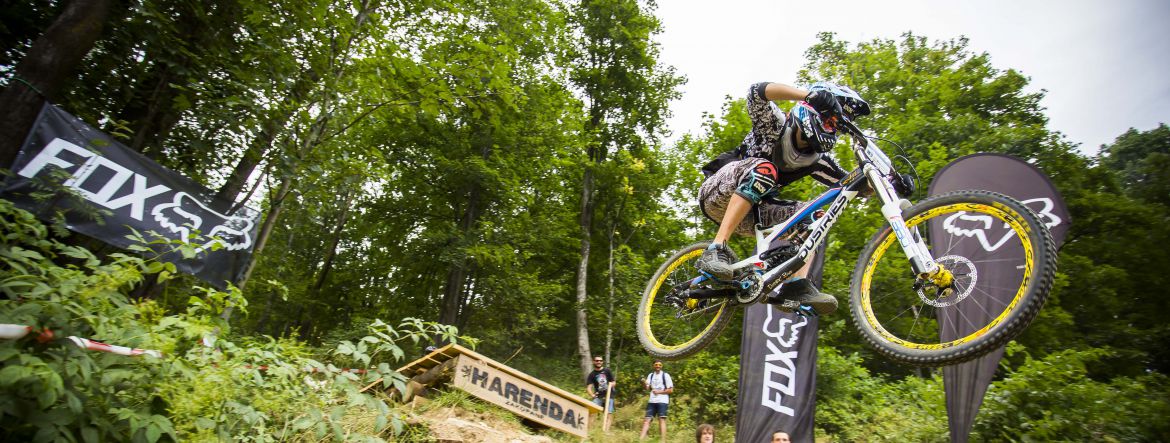
This is one of the best bike riding spots in Zakopane. Thanks to the chairlift we can get to the Pasmo Gubałowskie ridge, which offers lots of tracks of different nature and difficulty. Every biker will find something here. There is a free parking spot next to lower chairlift station. Both on lower and upper station its possible to rent a bike or use a professional service. This is important because its necessary to receive a bike check before departing. Efficient brakes and driving gear on mountain routes are essential for fun and safety. We can prepare for a ride in tranquil peace and silence, adoring magnificent Tatry panorama. We can drink something refreshing before the ride in a small bar with a terrace. Most tracks go from upper station though. We spend few or even over a dozen hours, enjoying exciting downhill rides. We will be always accompanied by beautiful Tatra panorama and rich natural surroundings. Local bike tracks can lead through asphalt roads or gravel roads, rocky paths and forest trails with protruding trunks and roots. It’s best to equip the bike with suitable tires. Also, it’s recommended to take something in case of rain, because as beautiful it can be, weather can be deceiving.
MAP>>
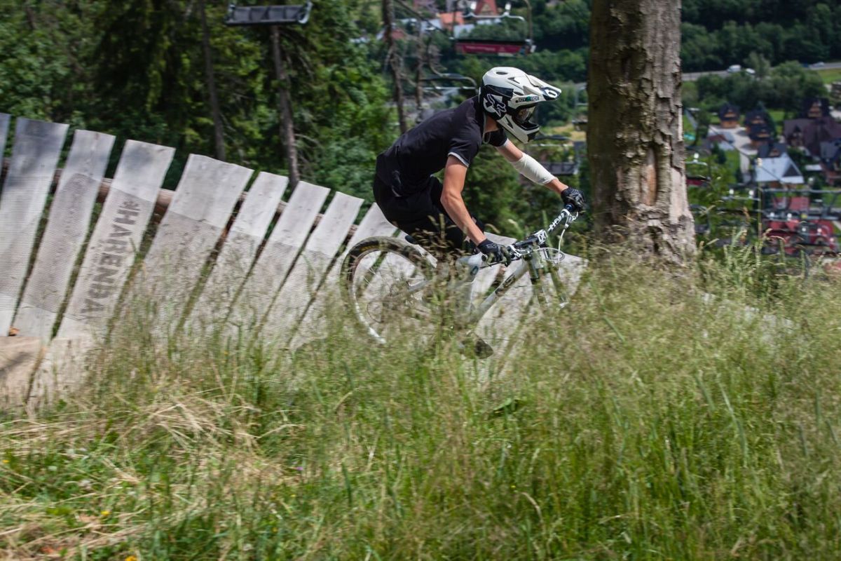
Downhill routes – Harenda
difficulty: easy and hard
Tracks lead from the top to lower chairlift station. Difficult track – red is recommended for experienced riders, while the easy one is made for newcomers in this sport. Through whole season, the park is marked and protected by the mattresses. If you’re not a fan of riding upwards, you can use chairlift station fit for bike transportation. There is also bike rental spot in Harenda.
Town Center
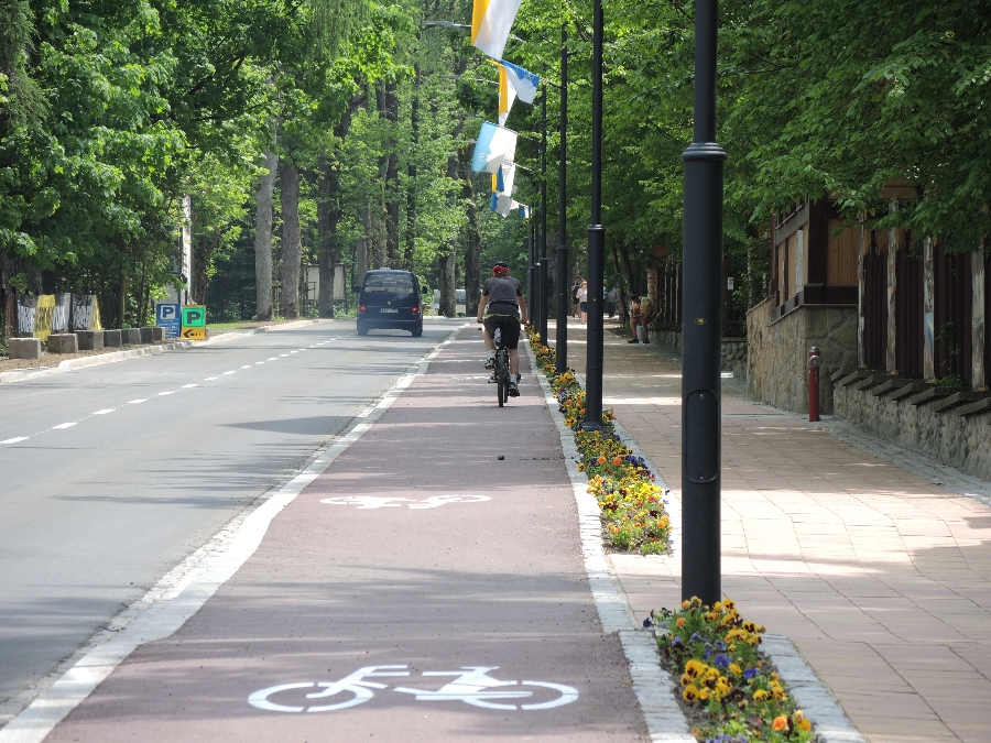
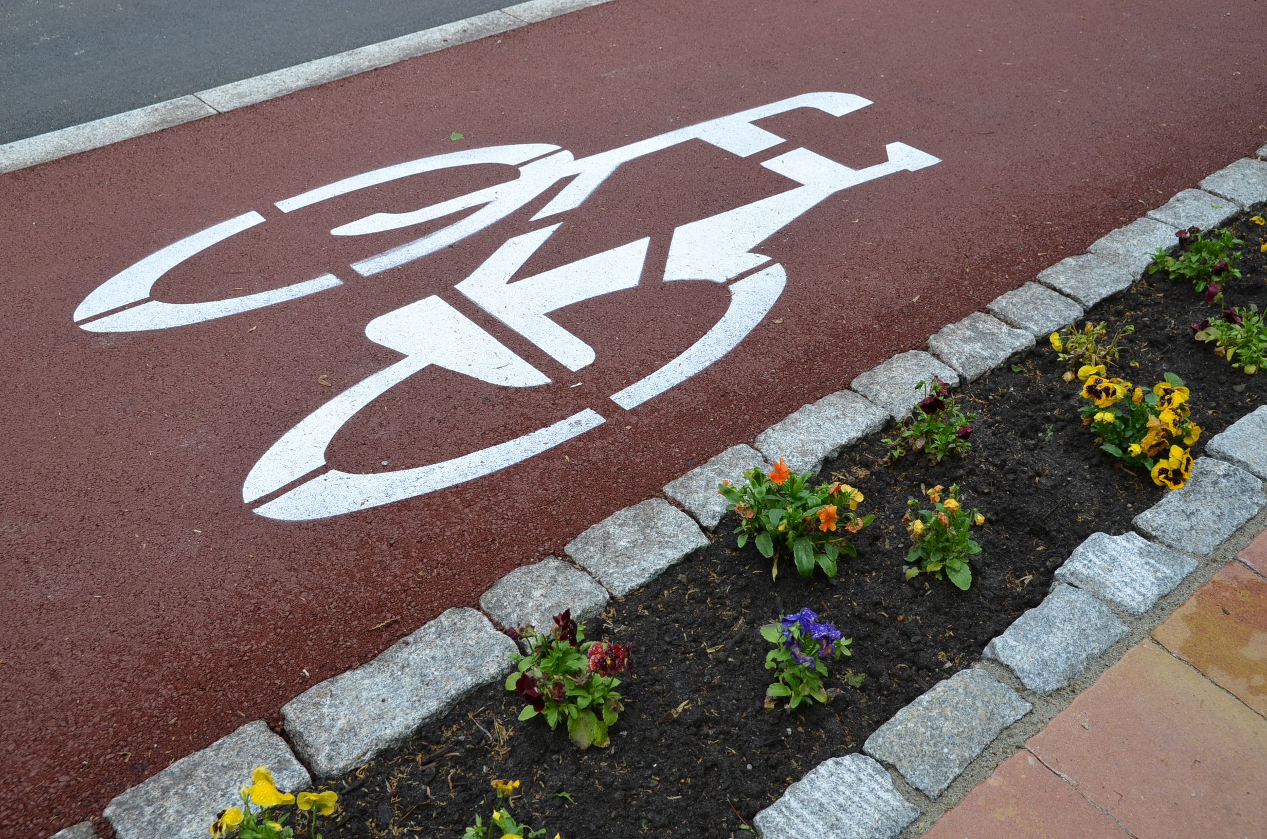
We recommend biker-skating tracks in town – Lower and Upper Rówień Krupowa are suited for bikes, pedestrians, skateboards, rollers and even scooters. There are also bike stops, with benches and bike stands available, where cyclist can rest.
- Przewodników Tatrzańskich st. - road to Kuźnice
Historical Cultural Natural Trail around Tatry
In Zakopane area we recommend a Historical Cultural Natural Trail around Tatry, which is a Polish-Slovak touristic brand of Euroregion “Tatry”, which founds over 250 km loop around Tatry with bike, roller, ski and cross-country routes. It goes through historical cultural lands of Podhale, Orawa, Liptowa andSpiš.
MAP>>
Sources:
www.tatry.pl
www.tpn.pl
www.harendazakopane.pl
Bike rental:
Bike point
Tetmajera 4/2 B st.
34-500 Zakopane
phone +48 884 310 035
bikepoint-podhale@wp.pl
www.activevents.pl
Góral tour
Krupówki 75 st.
34-500 Zakopane
phone +48 601 231 884
kontakt@goraltour-zakopane.pl
www.goraltour-zakopane.com
Harenda Ski Resort
Harenda 21 A st.
34-500 Zakopane
phone +48 18 20 256 80
biuro@harendazakopane.pl
www.harendazakopane.pl
Malczewski Sport Bike, Scooter and Carrier Rental
Bronisława Czecha 34 st.
34-500 Zakopane
phone +48 18 20 120 05
+48 609 603 034
malczewskisport@gmail.com
www.malczewskisport.pl
Piotr Beszterd Sports Gear Rental
Nowotarska 21 F st.
34-500 Zakopane
phone +48 502 137 512
+48 795 388 087
wypoczynekwcentrum@gmail.com
www.beszterdazakopane.pl/wypozyczalnia
Butorowy Rent Bike
Szczyt Gubałówki 2 – next to PKL exit on observation deck
Krupówki 71-73 st.
Krzeptówki Boczne 6 st.
phone +48 501 570 570
info@butorowy.pl
www.butorowy.pl


 Bardzo dobra
Legenda
Bardzo dobra
Legenda