Białego Valley is considered as one of
the mose colorful mountain valleys. Similarly to Strążyska Valley –
easily accesible from Zakopane center – is also a popular trip
destination in winter.
We begin our journey in the place where
yellow trail connects with Path under Regle. There is a booth at the
entrance, where we should buy Tatra National Park entry tickets.
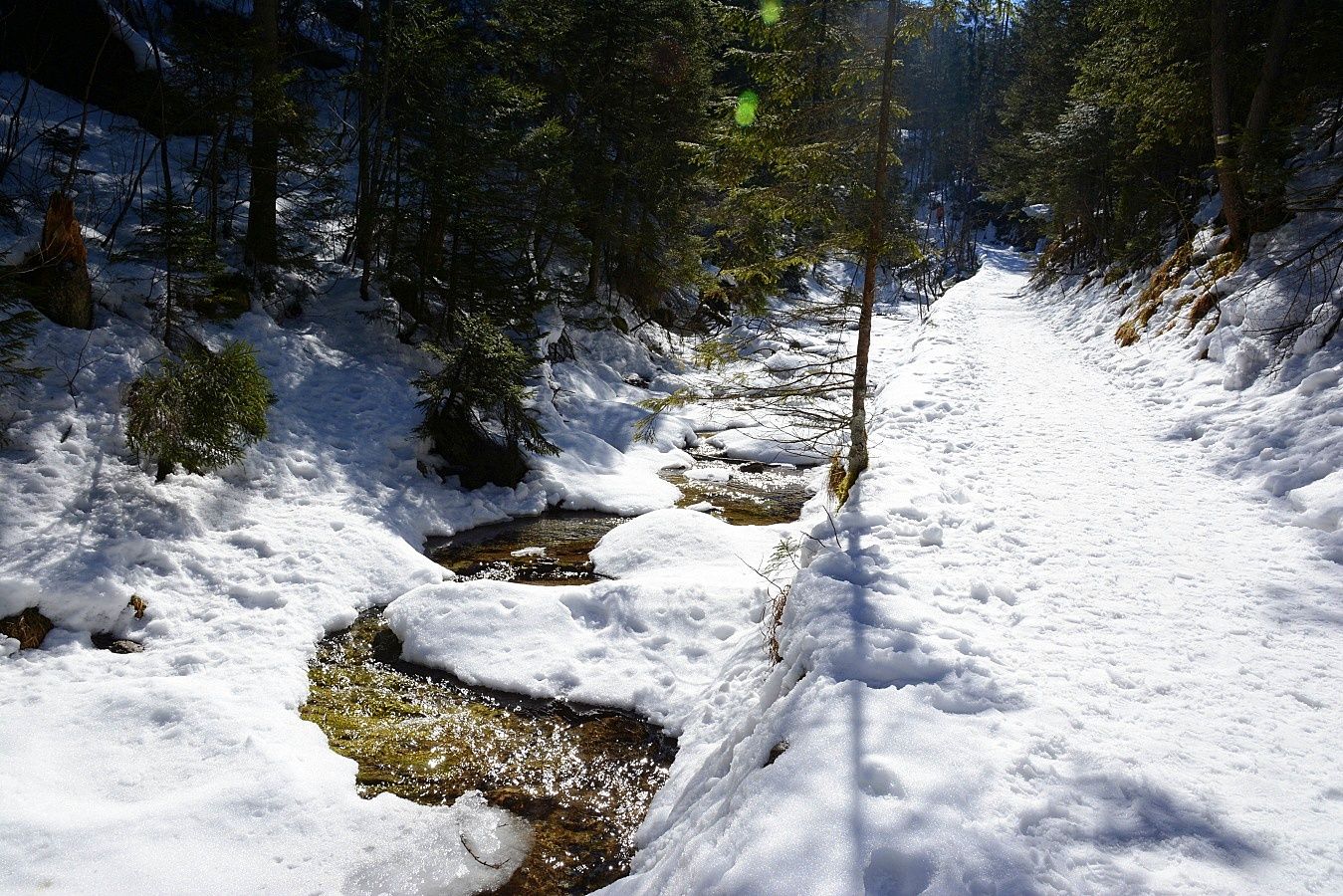
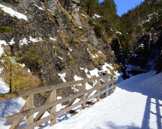
Białego Valley astonishes with different dolomite and lime stone
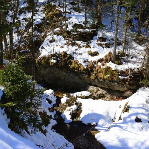
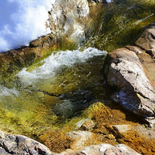
forms. Our trail leads through Biały Stream, creating cascades and
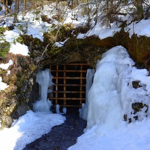
plunge pools. After over a dozen minutes of march, on the left side
we cross the former adit's opening. It is here where Soviets
conducted uranus deposits search after the World War II. The rocky
path, covered in snow in winter, gradually goes up and brings us to a
small waterfall, where it takes the form of a little ice cascade.
From this point the steep approach
begins, by which after around 30 minutes we can get to Ścieżka nad
Reglami (black signatures). In winter it is recommended to return the
same way.
 Dobra
Dobra


