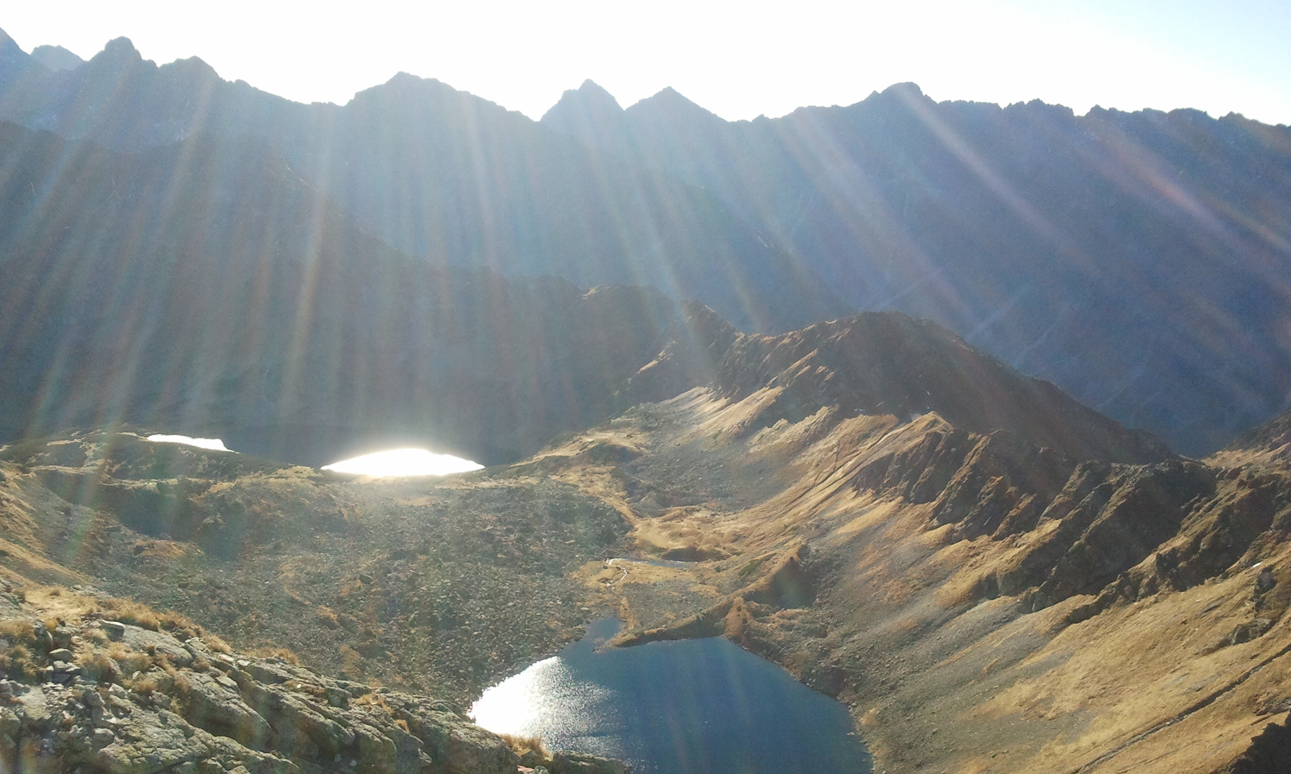
Jakość powietrza
Brak danych
Legenda
  Bardzo dobra
  Dobra
  Umiarkowana
  Brak danych
  Dostateczna
  Zła
  Bardzo zła
tabelka scrollowana
Czujniki GIOŚ NO2 CO O3 SO2
ul. Sienkiewicza   -   0   81.51   0
- - - - PM2.5 PM10 - - - - - - - -
ul. Sienkiewicza   -   2.66
Czujniki o mniejszej dokładności:
Kamieniec   2.47   3.09
Józefa Piłsudskiego   2.16   2.85
Tytusa Chałubińskiego   2.36   3.14
Zofii i Witolda Paryskich   6.01   8.77
Kuźnice   1.41   1.79
Szkoła Podstawowa w Kościelisku   15.99   20.62
Wszystkie odczyty podawane są w µg/m3
Partner: airly
Sob. 20.04 11:00
Śnieg
5° / -0° słabe opady śniegu
Nd. 14:00
Śnieg
-1°
Pon. 14:00
Zachmurzenie
Wt. 14:00
Zachmurzenie
Śr. 14:00
Śnieg
Czw. 08:00
Śnieg
Zdjęcie promujące Zakopane
Oranment

Roztoka Valley – Valley of Five Polish Ponds

Roztoka Valley – Valley of Five Polish Ponds

Trail:

Roztoka Valley – Valley of Five Polish Ponds

Distance Distance: 5,6 km
Finish time Finish time: 2 godz. 30 min
Elevation difference Elevation difference: 674 m↗ 33 m↘
Highest point: 1672 m n.p.m.
Trail:

Located among majestic peaks of High Tatras, Valley of Five Polish Ponds is a destination of many trips. We must bear in mind though, that this hike requires good physical condition.

A trail leading from Wincenty Pol's PTTK Shelter goes through Roztoka Valley's bottom. Going uphill among beautiful spruces, after around 15 minutes, we get to the Mickiewicz's Waterfalls region, where our trail connects with path to Morskie Oko. After a while, we go into the forests again. At first our track leads sharply uphill, however after fifteen minutes it becomes flat, going a little easier through bridges on Roztoka Stream. On the right side we see slopes of a hilly Wołoszyn, on the left – western hillsides of Opalony.

After around 1 hour 30 minutes march we get to the Nowa Roztoka Clearing, which we recognise thanks to the hut standing here. From here it takes around 1 hour 30 minutes to Great Polish Pond by green trail. We shall decide from which side to get to the Valley of Five Polish Ponds in 30 minutes from here, at the trail crossing. From this point, the green trail goes stright, leading through the region of impressive Tatra waterfall – Siklawa (around 40 m). The alternative trail, black color, turns left and with tall, stone steps guides us directly to the shelter. It takes one hour on green path, and 40 minutes on the black one. At summer we can easily choose both, ascending with first, and descending with another. If we'll continue on green trail, we must remember that Siklawa trails are a little more challenging, so we should place our steps carefully. For several minutes it leads through large, round boulders, where slipping hazard is high. After around 50 minutes from trail crossing we get to the Great Polish Pond region, which lies at Valley of Five Polish Ponds. It's around 10 minutes from here to the shelter. It's worth mentioning that the shelter is the highest located structure of this kind in Poland, reaching the height of 1672 MASL.