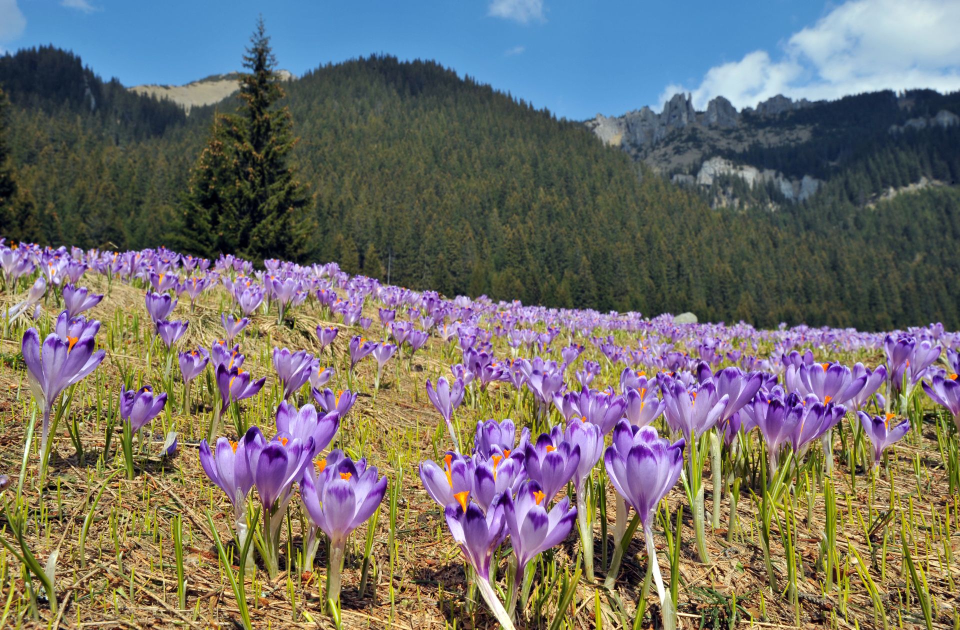
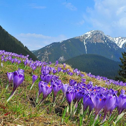
Chochołowska Valley is famous not only
for its beautiful views, but also for the amount of crocus flowers
that bloom every spring on its clearings. It's the only place in
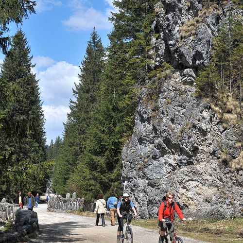
polish Tatra where you can walk your dog and one of two available
bike tracks. The furthest point that both cyclists and dog owners can
reach is PTTK Shelter on Chochołowska Clearing.
We begin our
journey on Siwa Polana where are, apart from ticket booth, stalls,
cab stop and Rakoń tourist train. We can take transport to Huciska
clearing. After passing the barrier, we get inside the valley by
aphalt route. Few private possesions are visible here. We can also
spot the cross which reminds of John Paul II's chopper landing on
Siwa Polana in june 1983. After passing the last of wooden houses, we
get into the forest. At its edge, on the right side, there is an info
board that informs us that we're not only on Tatra National Park's,
but also Forest Union of Authorised 8 Villages' territory. On the
left we see Dolina Lejowa trail outlet, which goes on the edge of
Siwa Polana. The asphalt road continues. We should be careful for
carriages and trains passing by. After around 40 minutes of march,
past Niżnia Brama Chochołowska and Chochołowskie Wywierzysko, we
get to Huciska clearing. This is where the final carriage and train
stop is, as well as toilets. This is also where the asphalt track
ends. We go further onto gravel path. At Dudowa Valley outlet, one of
the side branches of Chochołowska Valley, lies beginning of Regle
Path (black signs), leading far into Kuźnice region. After around 20
minutes on the right side we pass Leśniczówka Chochołowska (old
shelter of Blaszyńscy), and after 5 minutes we cross Starobociańska
Valley exit and two trail openings – yellow on Iwaniacka Pass and
Kościeliska Valley, and black for Ornak massif. From this point the
route ascends a little. Approximately after 15 minutes we get to
another trail crossing. This time from our path (green) branches red
one on the left, where we can reach Trzydniowiański Wierch, and
later through Jarząbcza Valley get into PTTK Shelter on Chochołowska
Clearing. We however continue going through the bottom of
Chochołowska Valley. It takes 20 minutes from the place where red
trail connects with green, leading to PTTK Shelter on Chochołowska
Clearing. The route here becomes nearly flat, even leading downwards
a little. After a while we see first huts standing on the edge of
wide Chochołowska Clearing, right under Bobrowiec feet. In summer
there is cultural sheep grazing where one can taste fresh, sheep
cheese. On the upper side of clearing lies small, delightful, wooden
John the Baptist chapel. From the upped side of clearing spreads
panorama on Chochołowska Valley surroundings (Kominiarski Wierch,
Jarząbczy Wierch, Wołowiec, Rakoń, Bobrowiec with Chochołowskie
Mnichy). In 10 minutes from Chochołowska Clearing we come to shelter
by slightly ascending path, passing trail exits: red (Jarząbcza
Valley – Trzydniowiański Wierch – Chochołowska Valley), yellow
(so called Papal inside Jarząbcza Valley) and green (Upper
Chochołowska Valley – ridge between Rakoń and Wołowiec).
 Dostateczna


